
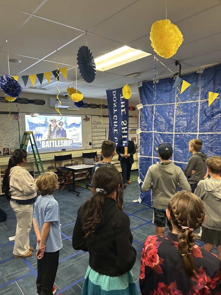
Sixth-grade geography at Upton Middle School took a high-seas turn as Mr. Pratley transformed classroom 206 into a life-sized grid for an interactive game of Battleship.
To put their ongoing study of latitude and longitude into practice, students gathered in the hallway before being officially welcomed aboard “Battleship 206” by their teacher and captain, Mr. Pratley.
Divided into two competing teams, each student took on the role of an individual ship. Positioned at precise latitude and longitude coordinates on their respective sides of the room, students had to rely on accurate grid-reading skills and spatial strategy to stay afloat.
The teams took turns calling out geographic coordinates, waiting eagerly to hear whether their guess resulted in a “hit” or a “miss.” Mr. Pratley tracked the action in real time, placing corresponding cards on the master grid after every attempt. Excitement built with each round until the final coordinate was successfully targeted and the last ship was sunk.
By turning abstract map coordinates into a dynamic, hands-on competition, the lesson gave 6th graders a fun, memorable, and practical understanding of global grid systems.